Glen Onoko Falls Trail Hike
This small creek feeds the Lehigh River just northwest of Jim Thorpe. A steep and rocky trail follows the creek up the mountain beside the waterfalls. We only did a short section of the trail -- about three quarters of a mile -- but there was about 600 feet of vertical gain over that short distance.
|
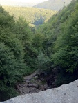
Looking down over the edge of the first big waterfall, which is about 80 feet high. We're sitting on a giant flat stone slab, which only has water running over it in one small spot. |
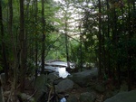
A small pool atop the first big waterfall. |
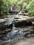
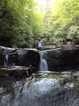
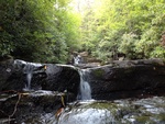
Small waterfalls above the first big fall. |
|
Small waterfalls above the first big fall. |
Small waterfalls above the first big fall. |
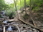
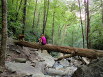
The trail heading back down. |
|
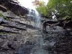
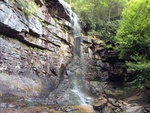
Looking up at the first big waterfall. |
Looking up at the first big waterfall. |
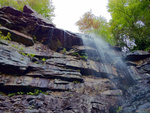
Side view of the first big waterfall. |
|
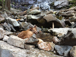
Heidi inviting me to her pool party. |
Small waterfalls on the left, with the trail in the middle and on the right. The "trail" here is pretty rough; it's just a bunch of small rocks and dirt on top of huge sloping slabs of other rocks. Climbing up in the actual waterfalls is easier than taking the trail. |
|
|
This is the GPS trail of our hike, as shown in Google Maps. |
