Sugarloaf Road Hike in Alta, Utah
[ Signal-to-noise ratio for set: 16.5% ]
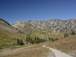
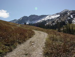
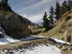
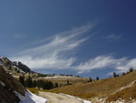
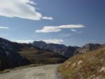
While in Utah, Kim and I bought a little book called "Best Easy Day Hikes Salt Lake City", and we picked a hike near Alta because Kim wanted to see that area in the summer. We ended up taking the "Sugarloaf Road" hike, which was the hardest one in the book.
You can check out our hike mapped on mapper.acme.com, mapped on the GMaps Pedometer (includes distance and elevation), and direct lat/lon links to the starting point, first ski-lift peak, second ski-lift peak, and Secret Lake.
As you can see on the GMaps map, despite having a guidebook we had no idea where we were going at first, and had to double back. Kim didn't mind because she is mostly bionic, but pretty much every step of this hike kicked my butt. It was an awesome hike though, with tons of fresh air and amazing views, and barely another person.
The total distance was about 6 miles, and the elevation gain was 1200 feet (low was 9300', high was 10,500').
And I forgot to adjust my camera's clock for Utah time, so the timestamps in the EXIF data are off by +1 hour. These were actually taken from ~noon to ~4 PM.
|
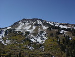
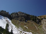
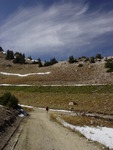
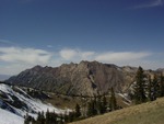
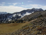
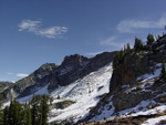
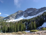
You can see the trail doing switchbacks on the mountain there. |
|
|
|
|
|
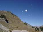
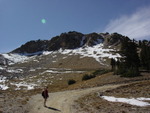
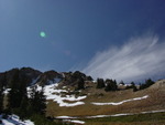
That's a snowball that Kim threw at precisely the |
|
|
|
|
|
|
|
|
|
|
|
|
|
|
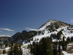
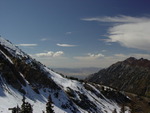
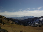
Part of the view from the first ski-lift peak. |
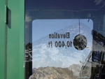
Elevation 10,400 feet. The second ski-lift peak was 10,500. |
|
|
|
|
|
|
|
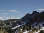
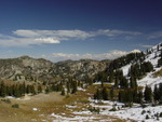
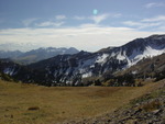
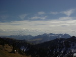
Mountains for as far as you could see. |
|
|
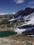
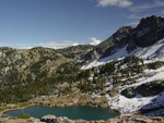
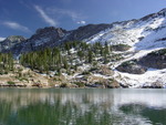
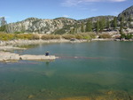
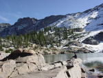
Secret Lake. |
|
|
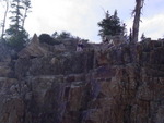
We went off the trail to get down to Secret Lake from where we were, and Kim climbed down that rock face. |
The water was a gorgeous emerald color. |
And it was very clear. |
|
|
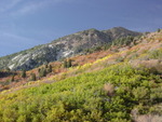
In real life, the oranges, blues and greens in this scene were especially bright and nicely contrasted. |
|
|
|
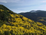
On the long windy downhill drive out of Alta, the foliage was brilliant. There were people parked all over, stopping to take photos. The time of day that we came down, though, the sun's angle/position made the photos all washed out. |
This one turned out pretty good, but the colors were 100x more saturated in real life. |
